- Vancouver, BC V6J 3T5
- 245,000
Description
6.4 ha ( 15.8 acres ) property near the old settlement of Moha on the Yalakom Road 32 km ( 20 miles ) northwest of the Municipality of Lillooet in the Province of British Columbia.
The property has 430 m ( 1/4 mile ) frontage on the Yalakom River and 350 m ( 1/5 mile ) frontage on the Yalakom Road. It is located near the confluence of the Bridge and Yalakom Rivers in the Squamish-Lillooet Regional District. The zoning is Rural Resource 5 which permits, among others things, the building of one family dwelling and associated buildings.
The Moha area has year round sunshine and a mild winter climate. The property has views of the snow-capped Shulaps and Mission mountains, and of the Camelsfoot mountains. The property is 1.4 km ( 1 mile ) from Fred Antoine Provincial Park.
Lillooet is a 4 hours drive from the City of Vancouver, 2 hours from the City of Kamloops, and 2 hours from the Resort Municipality of Whistler.
Location of the property: ( 50° 52' 11.38" North and 122° 10' 19.56" West ) or ( 50.869827, -122.172099 )
Property Identification Number ( PID ): 032-329-521
Year 2024 property taxes: $ 695.53
Elevation ( above sea level ) of the property: From 450 m to 540 m ( from 1475 feet to 1770 feet )
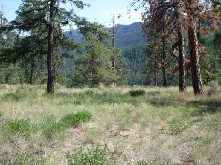
Image 1: Next to the Yalakom Road at the north end of the property viewing southeast towards the Mission mountains at 2440 m ( 8000 ft ).
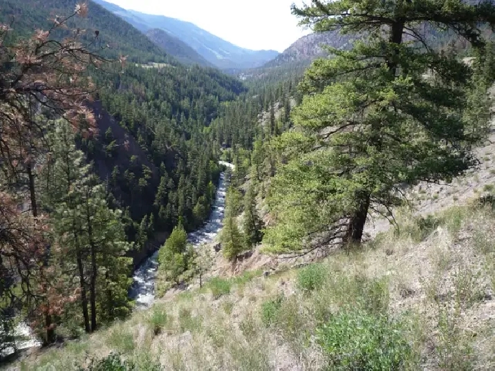
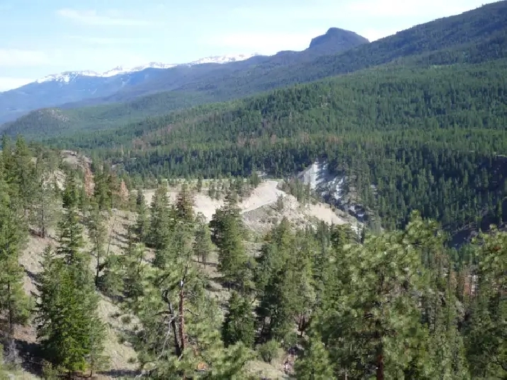
Image 2: At the north end of the property viewing northwest up the Yalakom Valley.
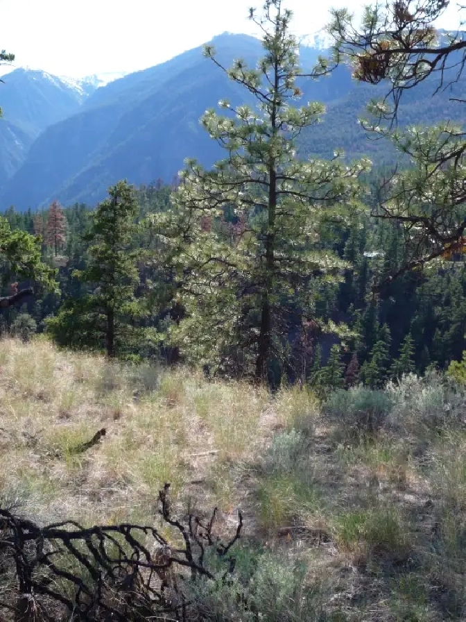
Image 3: At the north end of the property viewing west towards the Shulaps mountains at 2560 m ( 8400 ft ).
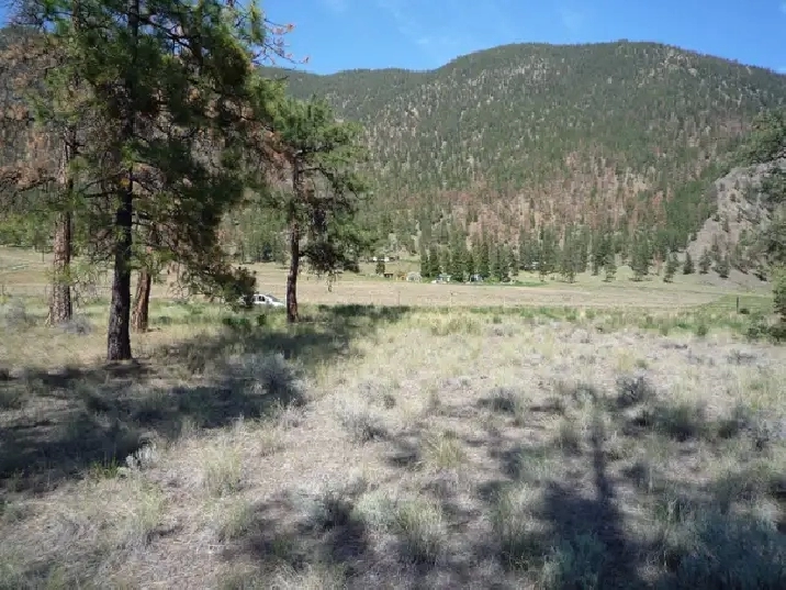
Image 4: At the north end of the property viewing east towards to the Camelsfoot mountains.
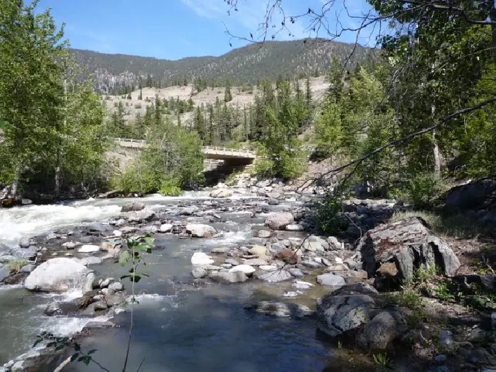
Image 5: View of the bridge where the Lillooet-Pioneer Road ( also called the Bridge River Road or Highway 40 ) crosses the Yalakom River.
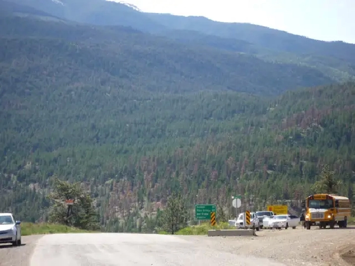
Image 6: At the junction of the Lillooet-Pioneer Road and the Yalakom Road.
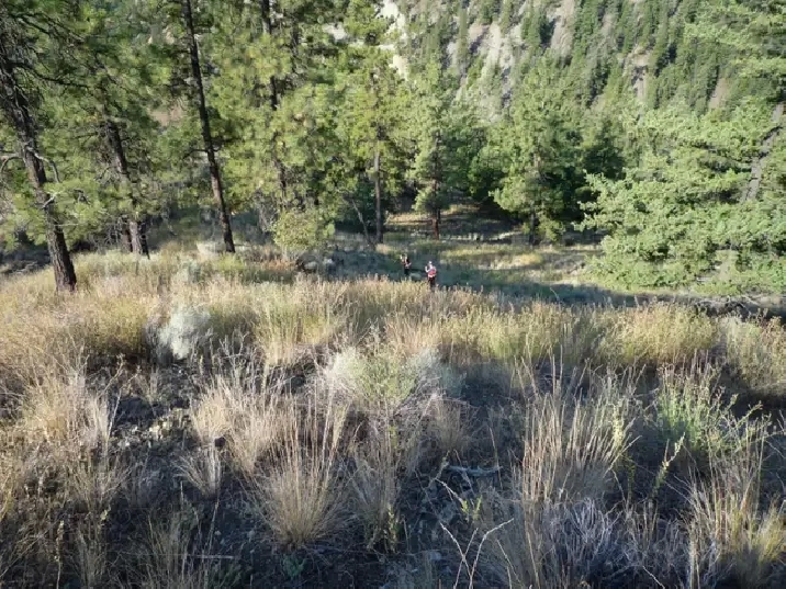
Image 7: At the north end of the property viewing towards the southeast.
Image 8: On the Yalakom Road at the south end of the property looking southwest in the direction of the southern property line.
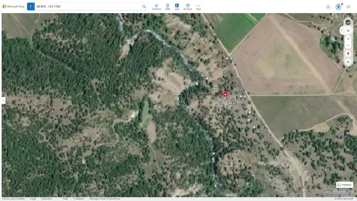
Image 9: The property outlined on a satellite view.
All measurements given above are approximate.
Information on Moha..............................................................http://en.wikipedia.org/wiki/Moha,_British_Columbia
Information on the Bridge River Valley..................................http://www.bridgerivervalley.ca/
Information on Lillooet...........................................................https://visitlillooet.ca/
Information on how to get to Moha:.......................................https://www.rome2rio.com/map/Seattle/Moha-BC-Canada
Information on the Bridge River Valley and Moha.................http://bcadventure.com/murphys/gold/river.htm
Information on Fred Antoine Provincial Park.........................http://bcparks.ca/explore/parkpgs/fred_antoine/
Satellite view of the property (highlight text below, right click highlighted text, and choose “Go to - - - - ”):
https://www.bing.com/maps?ty=18&q=50.870, -122.1720&ppois=50.86982785058594_-122.1720995444336_50.869, -122.1720_~&cp=50.869922~-122.172325&v=2&sV=1&FORM=MIRE&lvl=17.0&style=h
Details
- Size (acres):
- For Sale By: Owner
Location
Similar Properties
- Vancouver, BC V5K
- Vancouver, BC V6B
- Vancouver, BC V5K 0A7
- Vancouver, BC V5K

