- Vancouver, BC V6J 3T5
- 375,000
Description
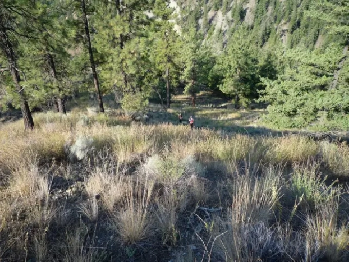
8.0 ha ( 19.8 acres ) property near the old settlement of Moha on the Lillooet-Pioneer Road ( also called the Bridge River Road or Highway 40 ) about 31 km ( 19 miles ) northwest of the Municipality of Lillooet in the Province of British Columbia.
The property has 300 m ( 1/10 mile ) frontage on the Bridge River, 635 m ( 2/5 mile ) frontage on the Yalakom River, 390 m ( 1/4 mile ) frontage on the Yalakom Road, and 665 m ( 2/5 mile ) frontage on the Lillooet-Pioneer Road. The parcel is located at the confluence of the Bridge and Yalakom Rivers in the Squamish Lillooet Regional District. The zoning is Rural Resource 5 which permits, among others things, the building of two separate family dwellings and associated buildings.
Near the bridge over the Yalakom River, the Lillooet-Pioneer Road divides the property into two parts. The smaller of the two parts has frontage on both the Bridge and Yalakom Rivers. The larger of the two parts has frontage only on the Yalakom River.
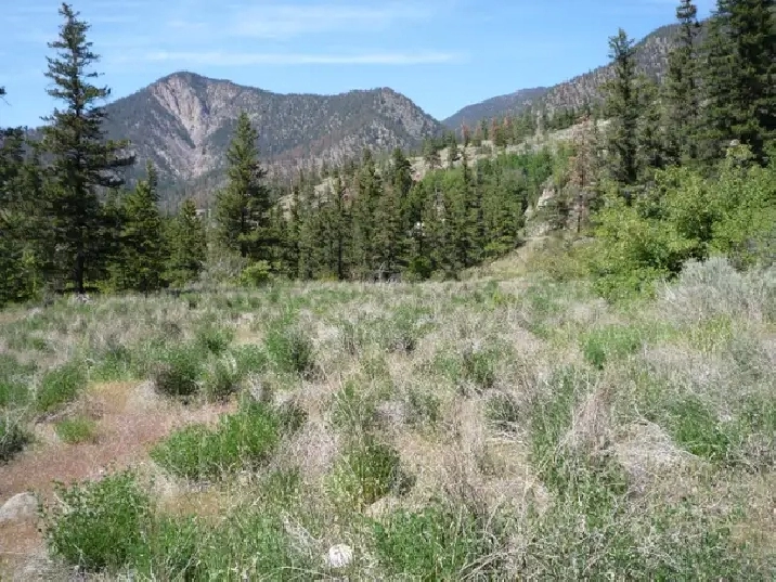
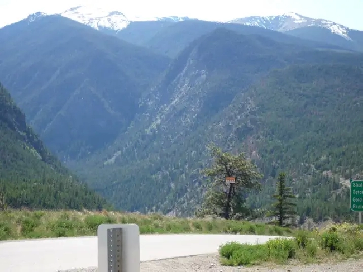
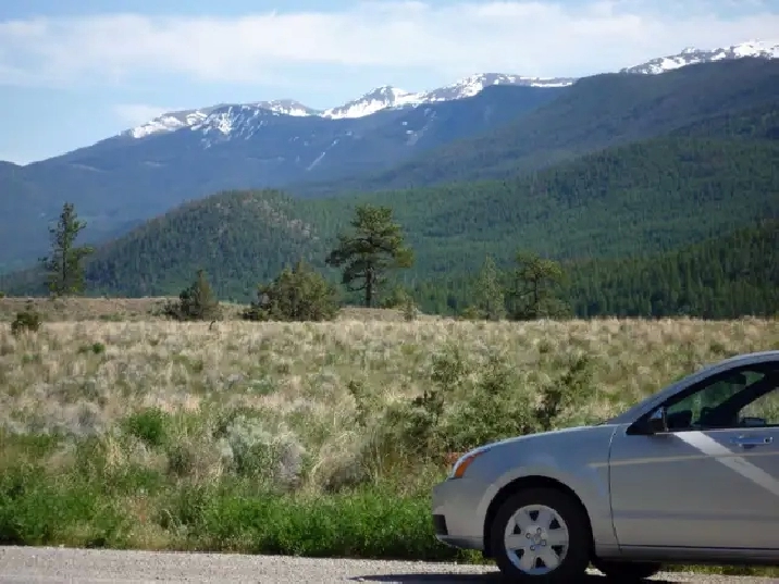
The Moha area has year round sunshine and a mild winter climate. The property has views of the snow-capped Shulaps and Mission mountains and of the Camelsfoot mountains. The property is 1.2 km ( 3/4 mile ) from Fred Antoine Provincial Park.
Lillooet is a 4 hours drive from the City of Vancouver, 2 hours from the City of Kamloops, and 2 hours from the Resort Municipality of Whistler.
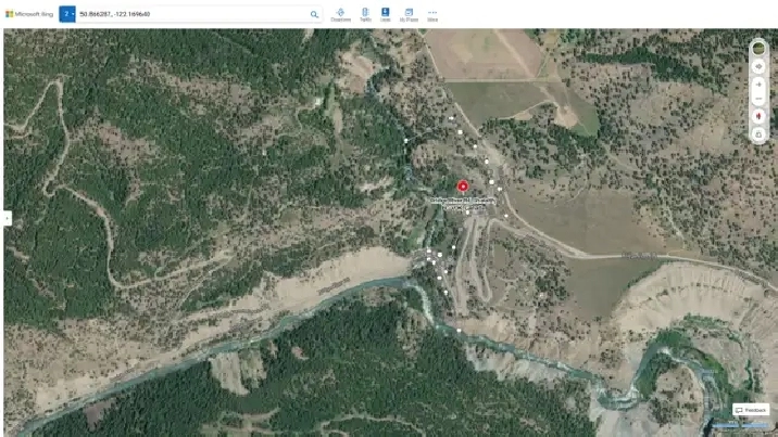
Location of the property: ( 50° 51' 58.6" North and 122° 10' 10.7" West ) or ( 50.866287, -122.169640 )
Property Identification Number ( PID ): 001-672-304
Year 2024 property taxes: $ 1369
Elevation ( above sea level ) of the property: From 420 m to 540 m ( from 1380 ft to 1770 ft )
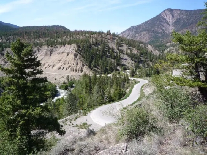
Image 1: View of the property at the confluence of the Bridge and Yalakom Rivers where the Lillooet-Pioneer Road crosses the bridge over the Yalakom River.
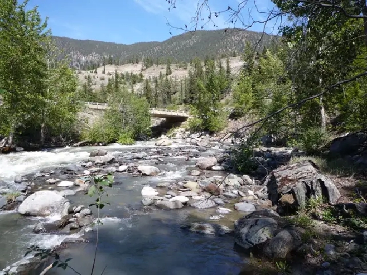
Image 2: View of the bridge where the Lillooet-Pioneer Road crosses the Yalakom River.
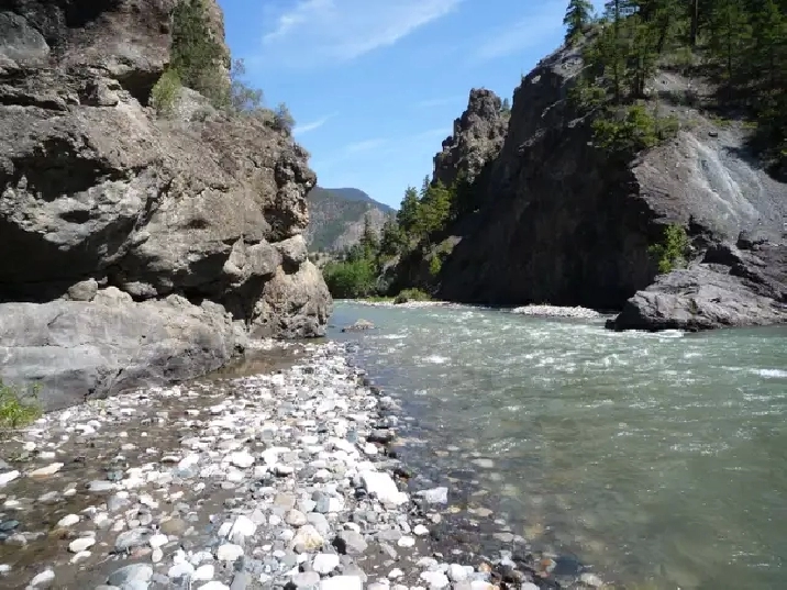
Image 3: At the south end of the property where the Bridge River flows southeast towards the Fraser River.
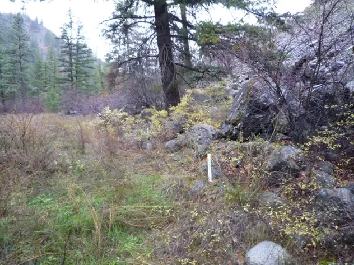
Image 4: View of a building site on a terrace downstream from the bridge over the Yalakom River.
Image 5: View of a building site on a terrace upstream from the bridge over the Yalakom River.
Image 6: At the intersection of the Lillooet-Pioneer and Yalakom Roads looking west towards the Bridge River Canyon and the Shulaps mountains at 2560 m ( 8400 ft ).
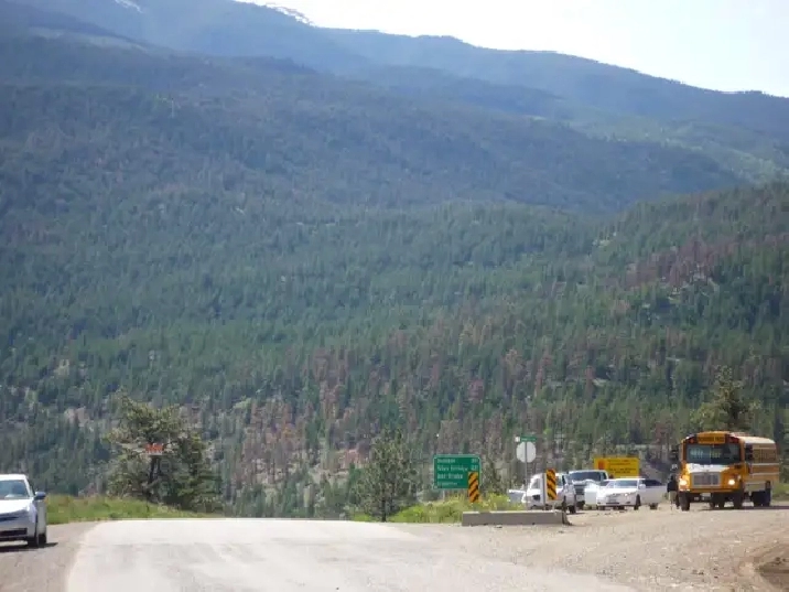
Image 7: At the junction of the Lillooet-Pioneer and the Yalakom Roads.
Image 8: View of the Mission mountains at 2440 m ( 8000 ft ) at the junction of the Lillooet-Pioneer and Yalakom Roads.
Image 9: On the Yalakom Road at the north end of the property looking southwest in the direction of the northern property line.
Image 10: The property outlined on a satellite view.
All measurements given above are approximate.
Information on Moha..............................................................http://en.wikipedia.org/wiki/Moha,_British_Columbia
Information on the Bridge River Valley..................................http://www.bridgerivervalley.ca/
Information on Lillooet...........................................................https://visitlillooet.ca/
Information on how to get to Moha:.......................................https://www.rome2rio.com/map/Seattle/Moha-BC-Canada
Information on the Bridge River Valley and Moha.................http://bcadventure.com/murphys/gold/river.htm
Information on Fred Antoine Provincial Park.........................http://bcparks.ca/explore/parkpgs/fred_antoine/
Satellite view of the property (highlight text below, right click highlighted text, and choose “Go to - - - - ”):
https://www.bing.com/maps?ty=18&q=50.866, -122.1696&ppois=50.86628785058594_-122.1696435444336_50.866, -122.1696_~&cp=50.864776~-122.168977&v=2&sV=1&FORM=MIRE&lvl=16.0&style=h
Details
- Size (acres):
- For Sale By: Owner
Location
Similar Properties
- Vancouver, BC V5K
- Vancouver, BC V6B
- Vancouver, BC V5K 0A7
- Vancouver, BC V5K

